
Lees Creek topographic map
Interactive map
Click on the map to display elevation.
About this map
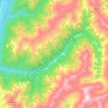
Name: Lees Creek topographic map, elevation, terrain.
Location: Lees Creek, Marlborough, Nouvelle-Zélande (-41.96653 172.89965 -41.93900 172.99658)
Average elevation: 1,413 m
Minimum elevation: 692 m
Maximum elevation: 2,157 m
Other topographic maps
Click on a map to view its topography, its elevation and its terrain.
Fish Bay
Nouvelle-Zélande > Marlborough
Fish Bay, Marlborough, Nouvelle-Zélande
Average elevation: 62 m