
Cold Spring topographic map
Interactive map
Click on the map to display elevation.
About this map
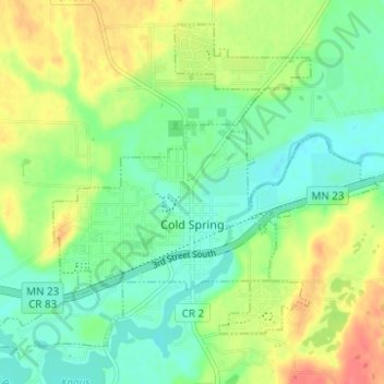
Name: Cold Spring topographic map, elevation, terrain.
Average elevation: 349 m
Minimum elevation: 327 m
Maximum elevation: 383 m
Other topographic maps
Click on a map to view its topography, its elevation and its terrain.
St. Cloud
États-Unis d'Amérique > Minnesota > Stearns County
St. Cloud, Stearns County, Minnesota, États-Unis d'Amérique
Average elevation: 319 m