
Cham topographic map
Interactive map
Click on the map to display elevation.
About this map
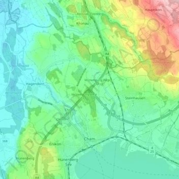
Name: Cham topographic map, elevation, terrain.
Location: Cham, Zug, Schweiz (47.16743 8.41483 47.23377 8.47990)
Average elevation: 440 m
Minimum elevation: 384 m
Maximum elevation: 591 m
Other topographic maps
Click on a map to view its topography, its elevation and its terrain.
Wildspitz
Schweiz > Zug > Unterägeri
Wildspitz, Unterägeri, Zug, 6314, Schweiz
Average elevation: 1,266 m