
Engure topographic map
Interactive map
Click on the map to display elevation.
About this map
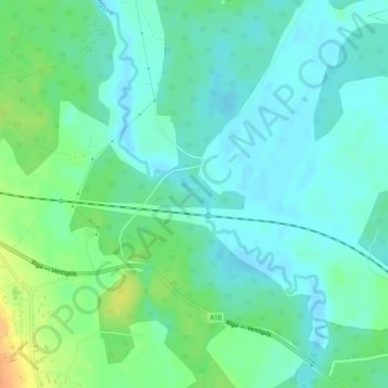
Name: Engure topographic map, elevation, terrain.
Location: Engure, Ventspils novads, Koerland, Letland (57.27464 22.06518 57.27738 22.07079)
Average elevation: 25 m
Minimum elevation: 14 m
Maximum elevation: 50 m
Other topographic maps
Click on a map to view its topography, its elevation and its terrain.
Bigauņciems
Letland > Koerland > Tukuma novads > Lapmežciema pagasts
Bigauņciems, Lapmežciema pagasts, Tukuma novads, Koerland, Letland
Average elevation: 2 m