
Thank you for supporting this site ❤️
Make a donation
Make a donation
Grady topographic map
Click on the map to display elevation.
Thank you for supporting this site ❤️
Make a donation
Make a donation
About this map
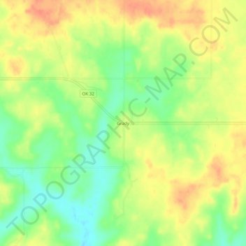
Name: Grady topographic map, elevation, terrain.
Location: Grady, Jefferson County, Oklahoma, United States (34.00038 -97.68558 34.04038 -97.64558)
Average elevation: 258 m
Minimum elevation: 233 m
Maximum elevation: 279 m
Thank you for supporting this site ❤️
Make a donation
Make a donation
Other topographic maps
Click on a map to view its topography, its elevation and its terrain.