
Zanskar topographic map
Interactive map
Click on the map to display elevation.
About this map
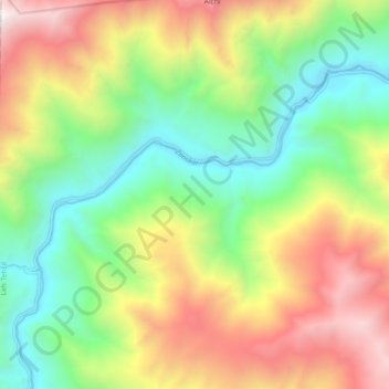
Name: Zanskar topographic map, elevation, terrain.
Location: Zanskar, Leh, Leh District, Jammu and Kashmir, India (34.09342 77.21041 34.14424 77.30293)
Average elevation: 3,933 m
Minimum elevation: 3,112 m
Maximum elevation: 5,130 m
Other topographic maps
Click on a map to view its topography, its elevation and its terrain.