
Klondike topographic map
Interactive map
Click on the map to display elevation.
About this map
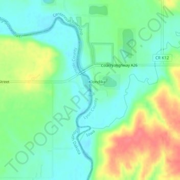
Name: Klondike topographic map, elevation, terrain.
Location: Klondike, Lincoln County, Iowa, VS (43.38646 -96.52232 43.38655 -96.52135)
Average elevation: 402 m
Minimum elevation: 379 m
Maximum elevation: 442 m
Other topographic maps
Click on a map to view its topography, its elevation and its terrain.