
Pella topographic map
Interactive map
Click on the map to display elevation.
About this map
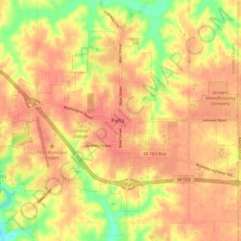
Name: Pella topographic map, elevation, terrain.
Location: Pella, Marion County, Iowa, 50219, VS (41.38186 -92.96246 41.43273 -92.87090)
Average elevation: 255 m
Minimum elevation: 217 m
Maximum elevation: 273 m