
Amazon rainforest topographic map
Interactive map
Click on the map to display elevation.
About this map
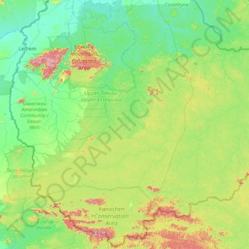
Name: Amazon rainforest topographic map, elevation, terrain.
Location: Amazon rainforest, Guyana (1.14800 -59.49698 3.90855 -58.09419)
Average elevation: 219 m
Minimum elevation: 71 m
Maximum elevation: 1,076 m
Other topographic maps
Click on a map to view its topography, its elevation and its terrain.
Leguan Local Government District
Guyana > Essequibo Islands-West Demerara > Leguan Local Government District
Average elevation: 1 m
Essequibo Islands-West Demerara Region
Guyana > Essequibo Islands-West Demerara
Average elevation: 33 m