
Springlands topographic map
Interactive map
Click on the map to display elevation.
About this map
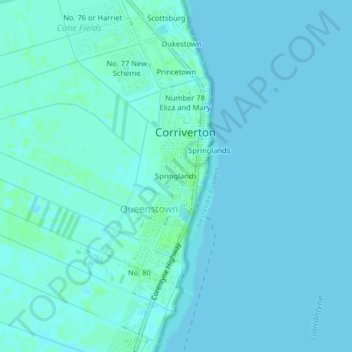
Name: Springlands topographic map, elevation, terrain.
Location: Springlands, Corriverton, East Berbice-Corentyne, Guyana (5.86975 -57.15943 5.90975 -57.11943)
Average elevation: 2 m
Minimum elevation: -2 m
Maximum elevation: 7 m