
Badnera topographic map
Interactive map
Click on the map to display elevation.
About this map
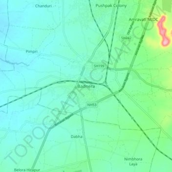
Name: Badnera topographic map, elevation, terrain.
Location: Badnera, Amravati, Maharashtra, 444700, India (20.81582 77.69270 20.89582 77.77270)
Average elevation: 339 m
Minimum elevation: 312 m
Maximum elevation: 457 m
Other topographic maps
Click on a map to view its topography, its elevation and its terrain.