
Kumbalangi topographic map
Interactive map
Click on the map to display elevation.
About this map
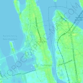
Name: Kumbalangi topographic map, elevation, terrain.
Location: Kumbalangi, Kochi, Ernakulam, Kerala, 682007, India (9.85406 76.26944 9.89406 76.30944)
Average elevation: 4 m
Minimum elevation: -1 m
Maximum elevation: 12 m
Other topographic maps
Click on a map to view its topography, its elevation and its terrain.