
Thank you for supporting this site ❤️
Make a donation
Make a donation
Doda topographic map
Click on the map to display elevation.
Thank you for supporting this site ❤️
Make a donation
Make a donation
About this map
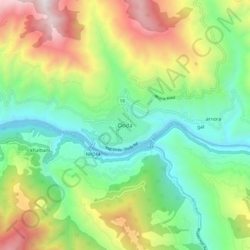
Name: Doda topographic map, elevation, terrain.
Location: Doda, Doda district, Jammu and Kashmir, 182202, India (33.10491 75.50740 33.18491 75.58740)
Average elevation: 1,495 m
Minimum elevation: 826 m
Maximum elevation: 2,700 m
Thank you for supporting this site ❤️
Make a donation
Make a donation