
Thank you for supporting this site ❤️
Make a donation
Make a donation
Foster topographic map
Click on the map to display elevation.
Thank you for supporting this site ❤️
Make a donation
Make a donation
About this map
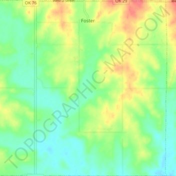
Name: Foster topographic map, elevation, terrain.
Location: Foster, Garvin County, Oklahoma, United States (34.56499 -97.52799 34.62324 -97.45737)
Average elevation: 308 m
Minimum elevation: 286 m
Maximum elevation: 343 m
Thank you for supporting this site ❤️
Make a donation
Make a donation
Other topographic maps
Click on a map to view its topography, its elevation and its terrain.