
El Pajar topographic map
Interactive map
Click on the map to display elevation.
About this map
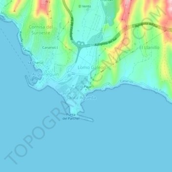
Name: El Pajar topographic map, elevation, terrain.
Average elevation: 30 m
Minimum elevation: -1 m
Maximum elevation: 213 m
Other topographic maps
Click on a map to view its topography, its elevation and its terrain.
Maspalomas
Spanien > San Bartolomé de Tirajana
Maspalomas, San Bartolomé de Tirajana, Las Palmas, Kanarische Inseln, 35100, Spanien
Average elevation: 34 m