
Kathua topographic map
Interactive map
Click on the map to display elevation.
About this map
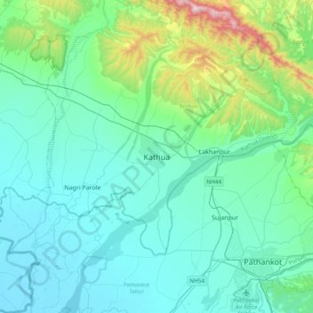
Name: Kathua topographic map, elevation, terrain.
Location: Kathua, Kathua District, Jammu and Kashmir, 184101, India (32.21655 75.36430 32.53655 75.68430)
Average elevation: 411 m
Minimum elevation: 259 m
Maximum elevation: 1,248 m