
Cáceres topographic map
Interactive map
Click on the map to display elevation.
About this map
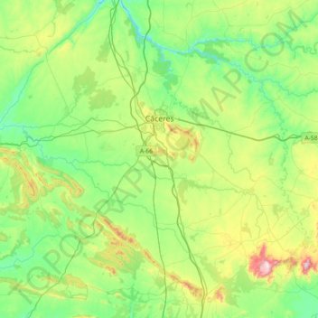
Name: Cáceres topographic map, elevation, terrain.
Location: Cáceres, Extremadura, España (39.15526 -6.80207 39.64883 -6.07874)
Average elevation: 389 m
Minimum elevation: 202 m
Maximum elevation: 981 m
Other topographic maps
Click on a map to view its topography, its elevation and its terrain.
Aguas Vivas
España > Extremadura > Cáceres
Aguas Vivas, Cáceres, Extremadura, España
Average elevation: 423 m