
Drolenval topographic map
Interactive map
Click on the map to display elevation.
About this map
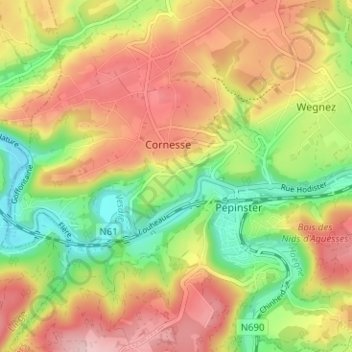
Name: Drolenval topographic map, elevation, terrain.
Location: Drolenval, Pepinster, Verviers, Liège, Wallonia, 4860, Belgium (50.55105 5.77246 50.59105 5.81246)
Average elevation: 214 m
Minimum elevation: 111 m
Maximum elevation: 317 m
Other topographic maps
Click on a map to view its topography, its elevation and its terrain.