
Stenton topographic map
Interactive map
Click on the map to display elevation.
About this map
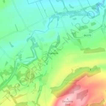
Name: Stenton topographic map, elevation, terrain.
Location: Stenton, East Lothian, Scotland, EH42 1TE, United Kingdom (55.93918 -2.62863 55.97918 -2.58863)
Average elevation: 112 m
Minimum elevation: 27 m
Maximum elevation: 299 m