
Mulqi topographic map
Interactive map
Click on the map to display elevation.
About this map
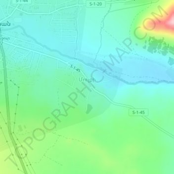
Name: Mulqi topographic map, elevation, terrain.
Location: Mulqi, Aparan region, Aragatsotn Province, Armenia (40.57580 44.36686 40.58613 44.38303)
Average elevation: 1,915 m
Minimum elevation: 1,864 m
Maximum elevation: 2,074 m
Other topographic maps
Click on a map to view its topography, its elevation and its terrain.
Kanch
Armenia > Aragatsotn Province > Kanch
Kanch, Talin region, Aragatsotn Province, Armenia
Average elevation: 1,470 m
Aragats
Armenia > Aragatsotn Province > Aragats
Aragats, Aragatsotn Province, Armenia
Average elevation: 1,962 m