
Kanch topographic map
Interactive map
Click on the map to display elevation.
About this map
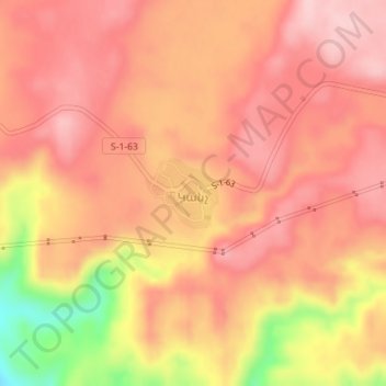
Name: Kanch topographic map, elevation, terrain.
Location: Kanch, Talin region, Aragatsotn Province, Armenia (40.37930 43.72524 40.38429 43.73195)
Average elevation: 1,470 m
Minimum elevation: 1,329 m
Maximum elevation: 1,529 m