
Thank you for supporting this site ❤️
Make a donation
Make a donation
Harman topographic map
Click on the map to display elevation.
Thank you for supporting this site ❤️
Make a donation
Make a donation
About this map
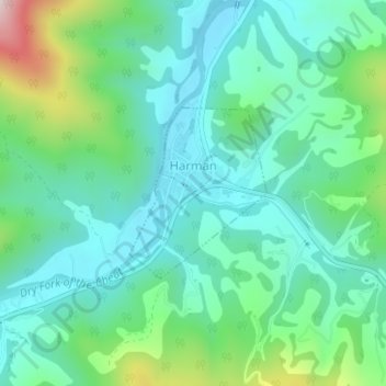
Name: Harman topographic map, elevation, terrain.
Location: Harman, Randolph County, West Virginia, 26760, United States (38.91452 -79.53091 38.92651 -79.51853)
Average elevation: 814 m
Minimum elevation: 699 m
Maximum elevation: 1,174 m
Thank you for supporting this site ❤️
Make a donation
Make a donation
Other topographic maps
Click on a map to view its topography, its elevation and its terrain.