
Sopore topographic map
Click on the map to display elevation.
About this map
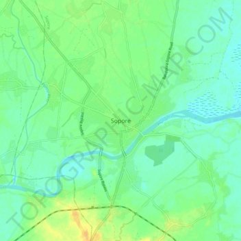
Name: Sopore topographic map, elevation, terrain.
Location: Sopore, Baramulla, Jammu and Kashmir, 193201, India (34.24691 74.42257 34.32691 74.50257)
Average elevation: 1,583 m
Minimum elevation: 1,574 m
Maximum elevation: 1,600 m