
Monona County topographic map
Interactive map
Click on the map to display elevation.
About this map
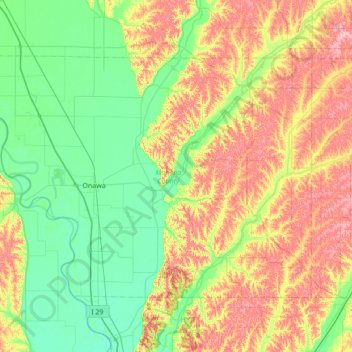
Name: Monona County topographic map, elevation, terrain.
Location: Monona County, Iowa, United States (41.86317 -96.35987 42.21486 -95.67081)
Average elevation: 359 m
Minimum elevation: 304 m
Maximum elevation: 460 m
Other topographic maps
Click on a map to view its topography, its elevation and its terrain.
Iowa City
United States > Iowa > Johnson County > Iowa City
The elevation at the Iowa City Municipal Airport is 668 ft (203.6 m) above sea level.
Average elevation: 225 m