
Komařice topographic map
Interactive map
Click on the map to display elevation.
About this map
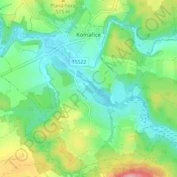
Name: Komařice topographic map, elevation, terrain.
Location: Komařice, okres České Budějovice, Southwest, 373 14, Czechia (48.84655 14.51142 48.88601 14.57197)
Average elevation: 470 m
Minimum elevation: 420 m
Maximum elevation: 582 m
Other topographic maps
Click on a map to view its topography, its elevation and its terrain.
Val
Czechia > Southwest > Jihočeský kraj
Val, okres Tábor, Jihočeský kraj, Southwest, Czechia
Average elevation: 424 m
Šumava National Park
Šumava National Park, Zona 1, Horní Světlé Hory, Strážný, okres Prachatice, Jihočeský kraj, Southwest, 1384 92, Czechia
Average elevation: 801 m