
Massac County topographic map
Interactive map
Click on the map to display elevation.
About this map
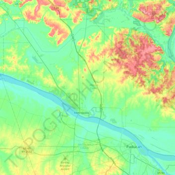
Name: Massac County topographic map, elevation, terrain.
Location: Massac County, Illinois, VS (37.06381 -88.92730 37.33846 -88.49021)
Average elevation: 120 m
Minimum elevation: 90 m
Maximum elevation: 195 m
Other topographic maps
Click on a map to view its topography, its elevation and its terrain.