
浪坝寨村 topographic map
Interactive map
Click on the map to display elevation.
About this map
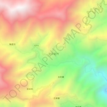
Name: 浪坝寨村 topographic map, elevation, terrain.
Location: 浪坝寨村, 泸水市, 怒江傈僳族自治州, 云南省, 中国 (25.94353 98.76010 25.98353 98.80010)
Average elevation: 2,012 m
Minimum elevation: 1,242 m
Maximum elevation: 2,694 m
Other topographic maps
Click on a map to view its topography, its elevation and its terrain.