
Thank you for supporting this site ❤️
Make a donation
Make a donation
Iatan topographic map
Click on the map to display elevation.
Thank you for supporting this site ❤️
Make a donation
Make a donation
About this map
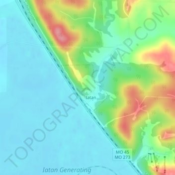
Name: Iatan topographic map, elevation, terrain.
Location: Iatan, Platte County, Missouri, United States (39.47324 -94.98874 39.48035 -94.97916)
Average elevation: 262 m
Minimum elevation: 235 m
Maximum elevation: 333 m
Thank you for supporting this site ❤️
Make a donation
Make a donation
Other topographic maps
Click on a map to view its topography, its elevation and its terrain.