
Thank you for supporting this site ❤️
Make a donation
Make a donation
Takeo topographic map
Click on the map to display elevation.
Thank you for supporting this site ❤️
Make a donation
Make a donation
About this map
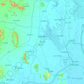
Name: Takeo topographic map, elevation, terrain.
Location: Takeo, Cambodia (10.51878 104.41017 11.35304 105.09830)
Average elevation: 25 m
Minimum elevation: -3 m
Maximum elevation: 701 m
Thank you for supporting this site ❤️
Make a donation
Make a donation
Other topographic maps
Click on a map to view its topography, its elevation and its terrain.