
Western Highlands topographic map
Interactive map
Click on the map to display elevation.
About this map
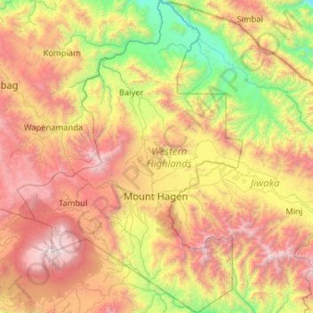
Name: Western Highlands topographic map, elevation, terrain.
Location: Western Highlands, Highlands Region, Papua New Guinea (-6.24445 143.77092 -5.21158 144.52006)
Average elevation: 1,846 m
Minimum elevation: 286 m
Maximum elevation: 4,272 m
Other topographic maps
Click on a map to view its topography, its elevation and its terrain.
Port Moresby
Papua New Guinea > National Capital District > National Capital District
Average elevation: 34 m