
Nuevo Cañete topographic map
Interactive map
Click on the map to display elevation.
About this map
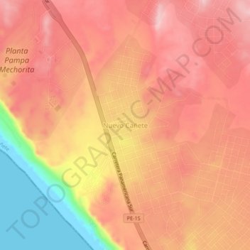
Name: Nuevo Cañete topographic map, elevation, terrain.
Location: Nuevo Cañete, San Vicente de Cañete, Cañete, Lima, Perú (-13.27472 -76.29901 -13.23472 -76.25901)
Average elevation: 129 m
Minimum elevation: 0 m
Maximum elevation: 190 m
Other topographic maps
Click on a map to view its topography, its elevation and its terrain.
San Vicente de Cañete
Perú > Lima > San Vicente de Cañete
San Vicente de Cañete, Cañete, Lima, Perú
Average elevation: 47 m