
Wakura topographic map
Click on the map to display elevation.
About this map
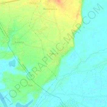
Name: Wakura topographic map, elevation, terrain.
Location: Wakura, Lar, Ganderbal District, Jammu and Kashmir, India (34.18976 74.67426 34.22976 74.71426)
Average elevation: 1,594 m
Minimum elevation: 1,579 m
Maximum elevation: 1,623 m