
武鸣区 topographic map
Interactive map
Click on the map to display elevation.
About this map
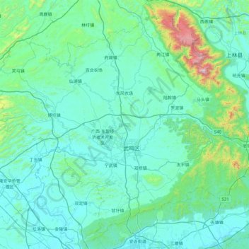
Name: 武鸣区 topographic map, elevation, terrain.
Location: 武鸣区, 南宁市, 广西壮族自治区, 中国 (22.91011 107.81689 23.54680 108.61456)
Average elevation: 232 m
Minimum elevation: 66 m
Maximum elevation: 1,712 m
Other topographic maps
Click on a map to view its topography, its elevation and its terrain.