
心圩江 topographic map
Interactive map
Click on the map to display elevation.
About this map
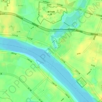
Name: 心圩江 topographic map, elevation, terrain.
Location: 心圩江, 上尧街道, 西乡塘区, 南宁市, 广西壮族自治区, 530003, 中国 (22.82727 108.26446 22.82815 108.26560)
Average elevation: 76 m
Minimum elevation: 62 m
Maximum elevation: 87 m