
Ripa Teatina topographic map
Interactive map
Click on the map to display elevation.
About this map
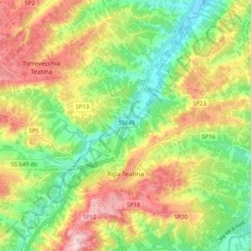
Name: Ripa Teatina topographic map, elevation, terrain.
Location: Ripa Teatina, Chieti, Abruzzen, Italië (42.34212 14.20707 42.39602 14.28181)
Average elevation: 132 m
Minimum elevation: 20 m
Maximum elevation: 270 m
Other topographic maps
Click on a map to view its topography, its elevation and its terrain.