
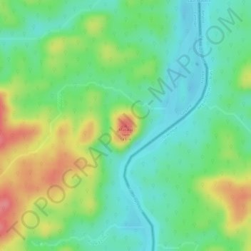
Masikili Iwɨtɨ topographic map
Interactive map
Click on the map to display elevation.
About this map
Name: Masikili Iwɨtɨ topographic map, elevation, terrain.
Average elevation: 93 m
Minimum elevation: 57 m
Maximum elevation: 147 m
Other topographic maps
Click on a map to view its topography, its elevation and its terrain.
Tampak
France > French Guiana > Camopi
Tampak, Camopi, Cayenne, French Guiana, 97330, France
Average elevation: 104 m