
Tampak topographic map
Interactive map
Click on the map to display elevation.
About this map
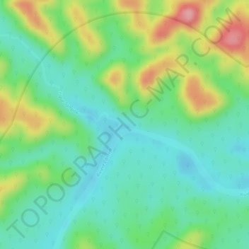
Name: Tampak topographic map, elevation, terrain.
Location: Tampak, Camopi, Cayenne, French Guiana, 97330, France (3.18033 -52.53646 3.20033 -52.51646)
Average elevation: 104 m
Minimum elevation: 55 m
Maximum elevation: 189 m
Other topographic maps
Click on a map to view its topography, its elevation and its terrain.
Masikili Iwɨtɨ
France > French Guiana > Camopi
Masikili Iwɨtɨ, Camopi, Arrondissement de Saint-Georges, French Guiana, 97330, France
Average elevation: 93 m