
Thank you for supporting this site ❤️
Make a donation
Make a donation
Ryvang topographic map
Click on the map to display elevation.
Thank you for supporting this site ❤️
Make a donation
Make a donation
About this map
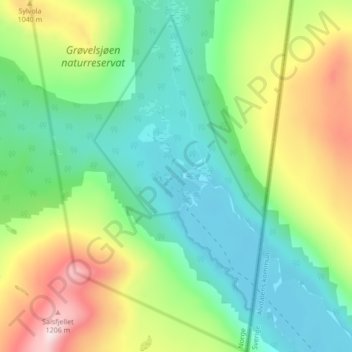
Name: Ryvang topographic map, elevation, terrain.
Location: Ryvang, Engerdal, Innlandet, Norway (62.14339 12.22594 62.18339 12.26594)
Average elevation: 905 m
Minimum elevation: 760 m
Maximum elevation: 1,202 m
Thank you for supporting this site ❤️
Make a donation
Make a donation
Other topographic maps
Click on a map to view its topography, its elevation and its terrain.