
Mecheri topographic map
Interactive map
Click on the map to display elevation.
About this map
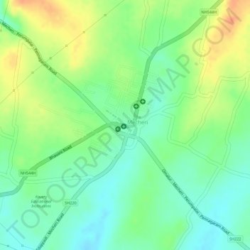
Name: Mecheri topographic map, elevation, terrain.
Location: Mecheri, Mettur, Salem, Tamil Nadu, India (11.82619 77.93360 11.84118 77.95146)
Average elevation: 354 m
Minimum elevation: 334 m
Maximum elevation: 379 m
Other topographic maps
Click on a map to view its topography, its elevation and its terrain.