
Guéra topographic map
Interactive map
Click on the map to display elevation.
About this map
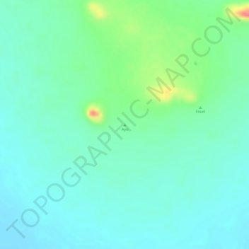
Name: Guéra topographic map, elevation, terrain.
Location: Guéra, Chad, Ayo (10.27385 18.62085 10.27395 18.62095)
Average elevation: 419 m
Minimum elevation: 399 m
Maximum elevation: 475 m
Other topographic maps
Click on a map to view its topography, its elevation and its terrain.
Batha واد البطحة
Chad > Batha > Oum Hadjer أم هاجر
Batha واد البطحة, Oum Hadjer أم هاجر, Batha, Chad
Average elevation: 402 m