
Dia topographic map
Interactive map
Click on the map to display elevation.
About this map
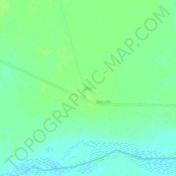
Name: Dia topographic map, elevation, terrain.
Location: Dia, Mandoul Oriental, Mandoul, Chad (8.99518 17.27618 9.03518 17.31618)
Average elevation: 376 m
Minimum elevation: 370 m
Maximum elevation: 380 m