
Cinkota topographic map
Interactive map
Click on the map to display elevation.
About this map
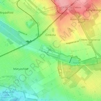
Name: Cinkota topographic map, elevation, terrain.
Average elevation: 161 m
Minimum elevation: 120 m
Maximum elevation: 220 m
Other topographic maps
Click on a map to view its topography, its elevation and its terrain.
Gellérthegy
Gellérthegy, 11th district, Budapest, Central Hungary, Hungary
Average elevation: 130 m
21st district
21st district, Budapest, Central Hungary, Hungary
Average elevation: 110 m