
Thank you for supporting this site ❤️
Make a donation
Make a donation
Taiba topographic map
Click on the map to display elevation.
Thank you for supporting this site ❤️
Make a donation
Make a donation
About this map
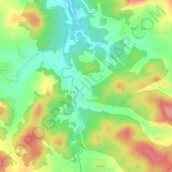
Name: Taiba topographic map, elevation, terrain.
Location: Taiba, Erki(Tamar II), Khunti District, Jharkhand, India (22.89610 85.38403 22.90877 85.40160)
Average elevation: 564 m
Minimum elevation: 509 m
Maximum elevation: 627 m
Thank you for supporting this site ❤️
Make a donation
Make a donation
Other topographic maps
Click on a map to view its topography, its elevation and its terrain.