
Thank you for supporting this site ❤️
Make a donation
Make a donation
Koa topographic map
Click on the map to display elevation.
Thank you for supporting this site ❤️
Make a donation
Make a donation
About this map
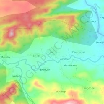
Name: Koa topographic map, elevation, terrain.
Location: Koa, Erki(Tamar II), Khunti, Jharkhand, India (22.92883 85.37597 22.96883 85.41597)
Average elevation: 492 m
Minimum elevation: 397 m
Maximum elevation: 642 m
Thank you for supporting this site ❤️
Make a donation
Make a donation
Other topographic maps
Click on a map to view its topography, its elevation and its terrain.