
Thank you for supporting this site ❤️
Make a donation
Make a donation
Lindsay topographic map
Click on the map to display elevation.
Thank you for supporting this site ❤️
Make a donation
Make a donation
About this map
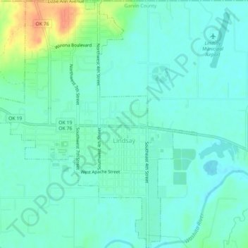
Name: Lindsay topographic map, elevation, terrain.
Location: Lindsay, Garvin County, Oklahoma, United States (34.81898 -97.62707 34.85531 -97.58950)
Average elevation: 300 m
Minimum elevation: 290 m
Maximum elevation: 331 m
Thank you for supporting this site ❤️
Make a donation
Make a donation
Other topographic maps
Click on a map to view its topography, its elevation and its terrain.