
Dahme topographic map
Interactive map
Click on the map to display elevation.
About this map
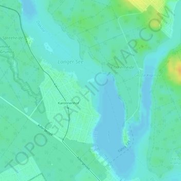
Name: Dahme topographic map, elevation, terrain.
Location: Dahme, Berlin, 12527, Deutschland (52.39317 13.64044 52.39425 13.64398)
Average elevation: 37 m
Minimum elevation: 31 m
Maximum elevation: 57 m
Other topographic maps
Click on a map to view its topography, its elevation and its terrain.