
Lichtenberg topographic map
Interactive map
Click on the map to display elevation.
About this map
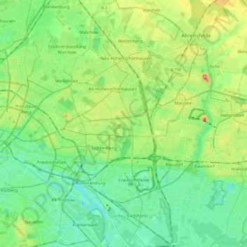
Name: Lichtenberg topographic map, elevation, terrain.
Location: Lichtenberg, Berlin, Deutschland (52.46784 13.45619 52.59644 13.56768)
Average elevation: 50 m
Minimum elevation: 25 m
Maximum elevation: 104 m
Other topographic maps
Click on a map to view its topography, its elevation and its terrain.