
Gal Dhuumood topographic map
Interactive map
Click on the map to display elevation.
About this map
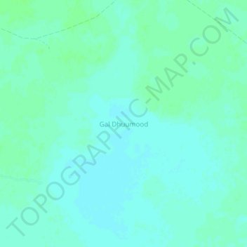
Name: Gal Dhuumood topographic map, elevation, terrain.
Location: Gal Dhuumood, Galdogob District, Mudug, Galmudug, Somalia (7.04284 47.11276 7.08284 47.15276)
Average elevation: 374 m
Minimum elevation: 370 m
Maximum elevation: 377 m
Other topographic maps
Click on a map to view its topography, its elevation and its terrain.
Bashka
Somalia > Mudug > Galdogob District
Bashka, Galdogob District, Mudug, Galmudug, Somalia
Average elevation: 395 m