
Bashka topographic map
Click on the map to display elevation.
About this map
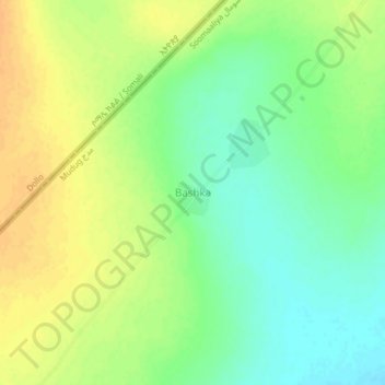
Name: Bashka topographic map, elevation, terrain.
Location: Bashka, Galdogob District, Mudug, Galmudug, Somalia (7.13395 47.11028 7.17395 47.15028)
Average elevation: 395 m
Minimum elevation: 379 m
Maximum elevation: 409 m