
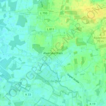
Alverskirchen topographic map
Interactive map
Click on the map to display elevation.
About this map
Name: Alverskirchen topographic map, elevation, terrain.
Average elevation: 61 m
Minimum elevation: 54 m
Maximum elevation: 73 m
Other topographic maps
Click on a map to view its topography, its elevation and its terrain.
Ahlen
Duitsland > Noordrijn-Westfalen > Kreis Warendorf
Ahlen, Kreis Warendorf, Noordrijn-Westfalen, Duitsland
Average elevation: 81 m
Beckum
Duitsland > Noordrijn-Westfalen > Kreis Warendorf > Beckum
Beckum, Kreis Warendorf, Noordrijn-Westfalen, 59269, Duitsland
Average elevation: 110 m